
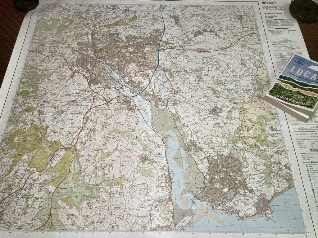
Last October, Alastair Humphreys’ forthcoming new book ‘Local’ caught my attention on X. In it, Alastair describes how he spent a year exploring his local map, one kilometer square at a time. It took ‘local adventure’ to a whole new level.
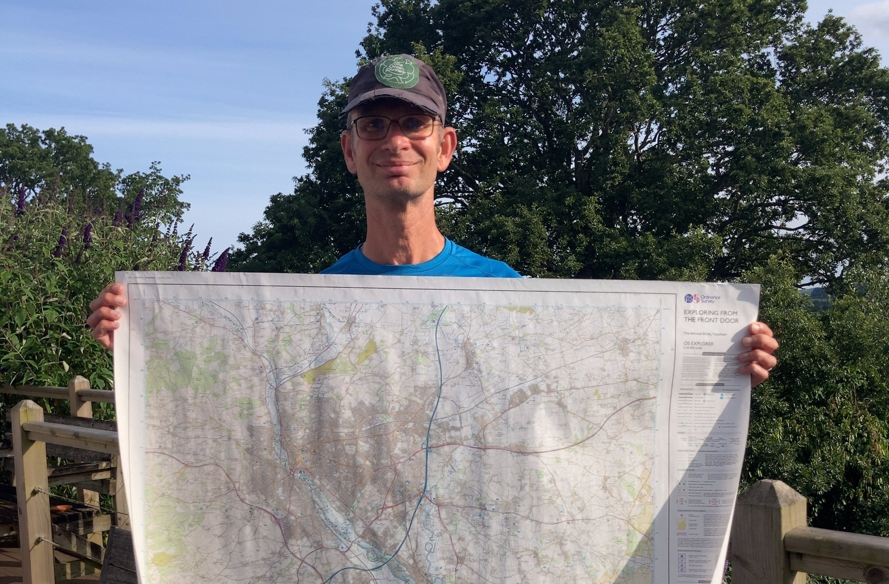
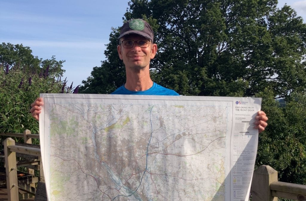
Reading the comments, I learned that Alastair used a bespoke 1:25,000 Ordnance Survey map as the basis of his exploration. Christmas present ideas sorted (book and bespoke map), I had until 1 January to come up with a plan. I rejected my first idea (running every footpath on the map) before settling on my challenge for 2024:
To travel on foot through the 400 1 km grid squares in an OS map centered on my home in Topsham, Devon; starting and ending each journey from my front door, no cars or public transport.
The idea fitted neatly into the Green Runners #HowWeTravel Pillar, as well as showcasing just how many adventures are right on your doorstep.
First forays
I spent the period between Christmas and New Year poring over my map. Where would my journeys take me, were any squares inaccessible, where should I head in the first week of January? It didn’t take long to work out that two squares were in the middle of the Exe Estuary and three squares out to sea between Exmouth and Budleigh Salterton. I reduced my target to 395 squares. At least three other squares looked to be inaccessible – no footpaths or roads crossed those squares. I’d worry about those later.
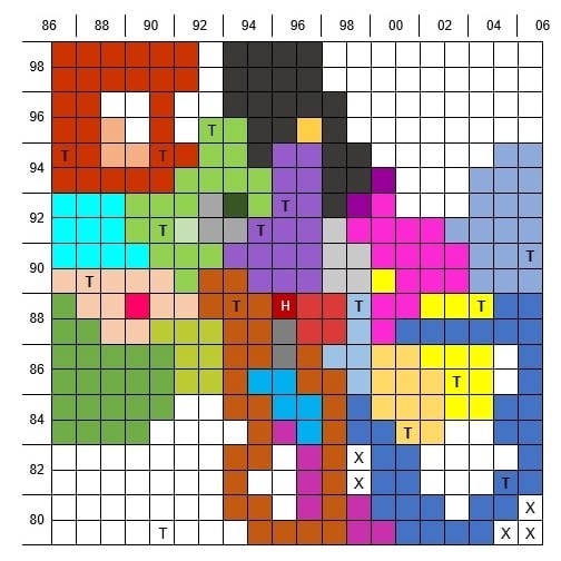
Plan established, I set about working out how to record my progress. I didn’t want to write on the map. I toyed with getting a perspex cover for the map. In the end, I created a 20 x 20 table in a Word document. Sorted.
And so it began on New Year’s Day. Each run took on a new purpose; no point heading out along a familiar route. I had squares to visit! Rather than just mark off each square in my grid, each square visited on the same run took on the same colour. A colourful mosaic slowly took shape.
January and February provided easy pickings, mostly in familiar territory. But as time passed I found myself heading along paths and lanes I’d not explored before, despite having lived within my map for 55 years. I learned that planning was important, devising the most efficient route to cover the maximum number of squares.
I chose Outdooractive (alongside OS Maps) to help create the routes, always meticulously analysing routes and extending them to include just one more square…
Challenges within challenges
My planning wasn’t perfect, though. On more than one occasion I’d arrive home and fill in my grid only to find an empty square surrounded by squares already covered. Poor planning resulted in a 22km run to a Co-op just to reach one such isolated square.
From the outset I took photos of some of the squares visited. After a while I decided I might as well take an image of each square. Of course, each photograph needed to be a square image.
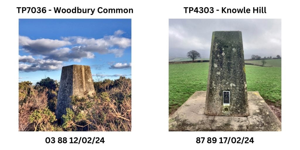
I developed other challenges within the challenge. Alastair invited people to visit seven local summits as a nod to the challenge of climbing the world’s seven highest summits. So I trawled my map, noting down all of the pillar trig points. How hard would it be to find and photograph all of the trig points? It turned out to be impossible due to a lack of a right to roam. But I got as close as I could (I didn’t mind getting “lost” on occasion, but I drew the line at asking to access someone’s garden).
Tying it all together
As the months passed, square hunting increasingly became the preserve of my long runs. Routes in excess of 40 km were needed to get to the outer edges of my map.
One of the unexpected pleasures of exploring my map was working out how the landscape connects together. I’d be out running and spot a hill or woodland. that I’d previously passed through. On one occasion I ran out to a trig point that I’d never been to before. The next morning I opened the curtains and realised that the distant hill up river from home was the self-same hill I’d climbed the previous day. Looking through my telescope I could just make out the trig point. Now I can put a name to that hill (Knowle Hill) I can see from home and know how it fits into the landscape between the Haldon Hills and Longdown.
And what about those inaccessible squares? Satellite imagery provided the answers. I was able to locate access points that weren’t obvious on the OS map: a public space on the edge of a housing estate that edged into a square; a graveyard that allowed me to squeeze through a hedge and across a ditch; a quiet lane through private farmland.
With just three squares to go, on 17 June I set out to complete my challenge by running to Exmouth harbour. There were no new squares to be gained on that route but that wasn’t the objective. I jumped on the ferry to Sidmouth, opened Outdooractive and started dot watching. Would the ferry cross the three squares out to sea off Orcombe Point? The ferry slowly sailed across two squares but, despite my protestations to the skipper, the third slipped by a hundred meters to port. I reluctantly accepted that the Marine’s live firing was reason enough to stick close to shore.
I disembarked at Sidmouth and ran the twenty miles home, happy to end on 399 out of 400. Close enough.
The end?
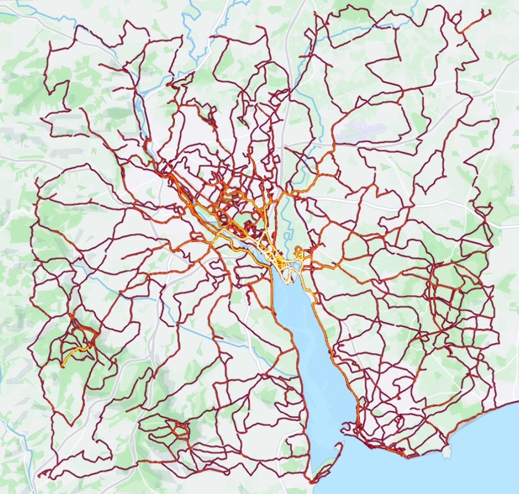
Of course, that’s not really the end of this story. I continue to explore my map, filling in my Strava heat map, linking previously visited routes and finding new surprises around each and every corner. And I’ve concocted at least one new challenge to complete within my map…
Stats
- Number of 1km squares visited on foot starting & ending at the front door: 399
- Transport: 2 ferries
- Distance run: 1,070km
- Elevation gain: 14,875m
- Number of runs: 41 runs
- Elapsed time: 169 days
- Devon Wildlife Trust Reserves: 12
- Windmill: 1
Resources
- Local by Alastair Humphreys LOCAL: A Year Exploring a Single Map – Alastair Humphreys
- Bespoke OS 1:25,000 map Custom Made Personalised maps | Paper and Framed prints (ordnancesurvey.co.uk)
- Help in locating trig points TrigpointingUK
- Devon Wildlife Trust reserves Nature Reserves | Devon Wildlife Trust
- Ourdooractive app with OS maps for mapping routes
- PicsPlay app (for taking square photos and editing)
- Canva app (for consistent layout of images)
- Obsidentify app for identifying bugs, beetles, flies and more
- Merlin app for identifying bird songs